NextWealth / Services / Computer Vision / Lane Annotation Services
Lane annotation services for self-driving cars and beyond
Polyline Annotation Services
Polyline annotation is the process of identifying and marking objects or areas of interest in digital images or videos using a series of connected straight lines. This annotation type is helpful for various applications, including object detection, tracking, and image segmentation. At NextWealth, we offer a comprehensive polyline annotation service to meet the needs of a wide range of clients. Lane annotation, rail annotation, and pipeline annotation are specific polyline annotation types used in particular industries.
Lane annotation Services
Lane annotation services are critical for developing and deploying autonomous vehicles and other AI-based systems. By providing accurate and detailed information about the boundaries of lanes on the road, our lane annotation services allow AI-based systems to navigate roads safely and efficiently. This information can be used to train machine learning models to detect and track lanes and to improve the performance of self-driving vehicles and traffic monitoring systems. Additionally, lane annotation services can also be used to generate large amounts of annotated data that is necessary for training and evaluating AI-based systems. At NextWealth, we provide high-quality annotations that are accurate and consistent.
Applications of Lane annotation Services
Lane annotation services are used to accurately and efficiently label lane information in images and videos, which is essential in various fields.
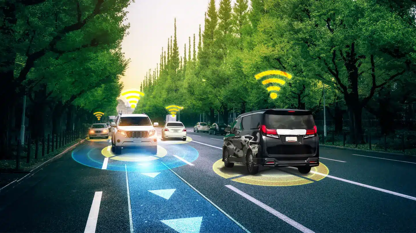
Autonomous Vehicles
Lane annotation is used to train and test autonomous vehicle systems by providing accurate and detailed information about the road and traffic conditions. This allows the systems to detect and respond to different road conditions and traffic scenarios, making them safer and more efficient.
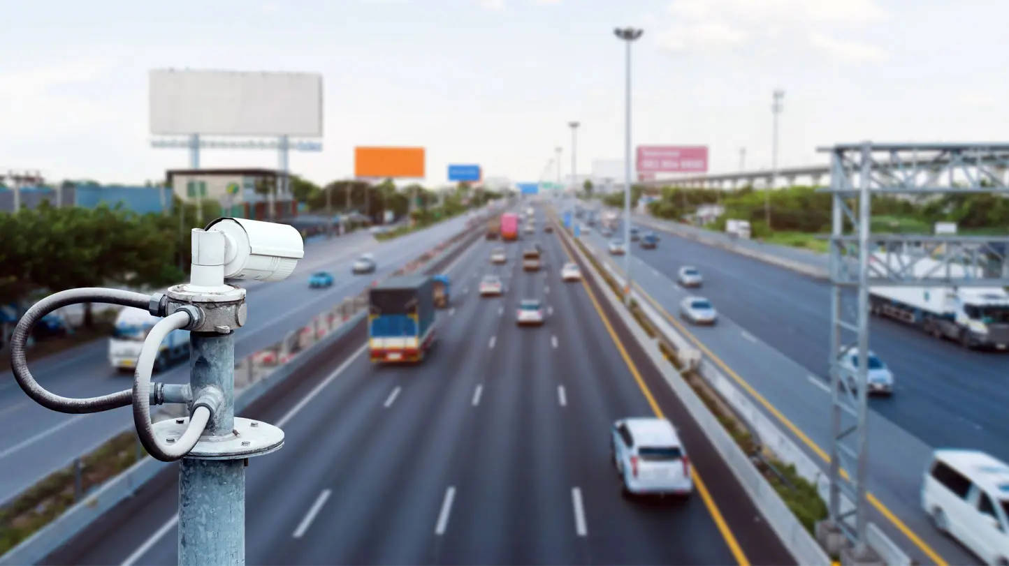
Traffic Monitoring
Lane annotation services can be used to analyze traffic flow, identify bottlenecks, and improve road networks. Traffic monitoring systems use such information to improve road networks, making them safer, more efficient, and more sustainable.
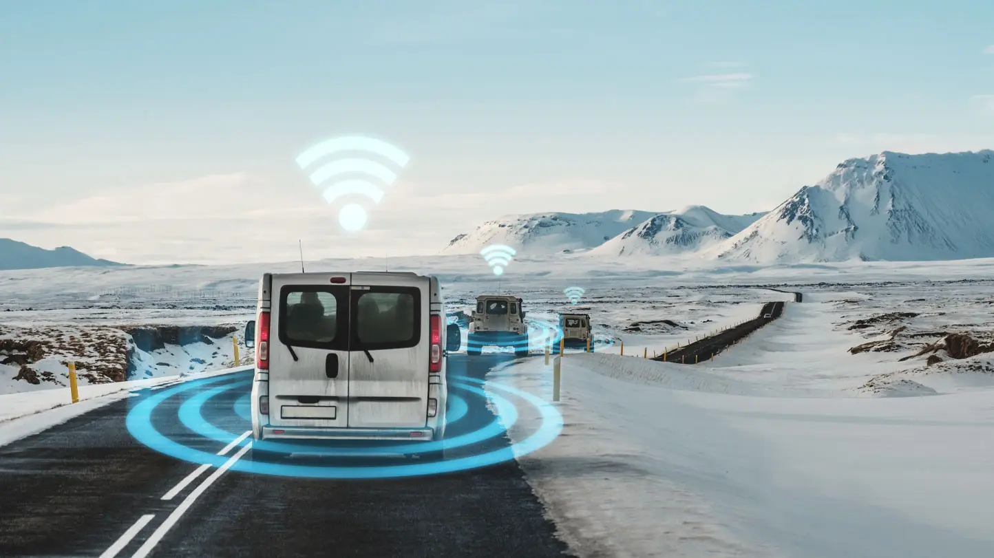
Transportation Research
Lane annotation services can be used to understand the behavior of different road users, such as cars, bicycles, and pedestrians. This information is used to improve transportation systems’ safety and efficiency and design better policies and regulations.
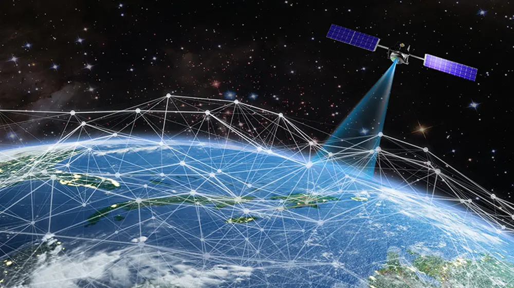
Satellite Image Processing
Polyline annotation is used to label and map different features in aerial and satellite images, such as roads, buildings, and other infrastructure. This information is used in various fields, such as urban planning, disaster management, and environmental monitoring.

Healthcare
Polyline annotation is used to label and track different structures and features in medical images and videos, such as blood vessels, tumors, and cells. This information is used to improve the diagnosis and treatment of various diseases and conditions.
Road Mapping
Lane annotation services can be used to create detailed and accurate maps of roads, which can be used in various fields such as navigation, logistics, and emergency management.
Want to partner with us?
Tell us more about your data challenges
FAQs
Are polyline annotation and lane annotation the same?
Lane annotation and polyline annotation services are related, but they differ in their specific focus and application. Lane annotation services focus on identifying and marking the boundaries of lanes on the road in images or videos. This information has various applications, such as self-driving cars, traffic monitoring, and map creation.
On the other hand, polyline annotation is a more general process that involves identifying and marking objects or areas of interest in images or videos using a series of connected straight lines. This annotation type is used in object detection, tracking, and image segmentation.
How does polyline annotation support automated vehicles?
Polyline annotation services support automated vehicles by providing information for object detection, image segmentation, lane detection, traffic sign, signal detection, and map creation. These annotations allow autonomous cars to navigate safely and efficiently by identifying and classifying objects in the environment, staying in the correct lane, understanding and obeying traffic rules, and planning routes using accurate maps. Overall, polyline annotation services are critical for developing and deploying autonomous vehicles by providing precise and detailed information about the environment.


